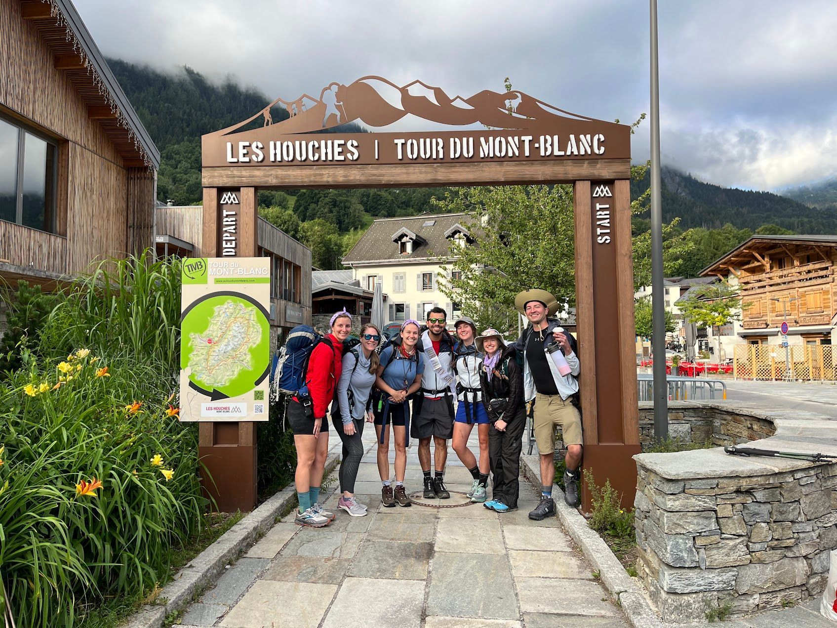
9-Day Alta Via 1 Itinerary: The Best Hut-to-Hut Hike in the Dolomites
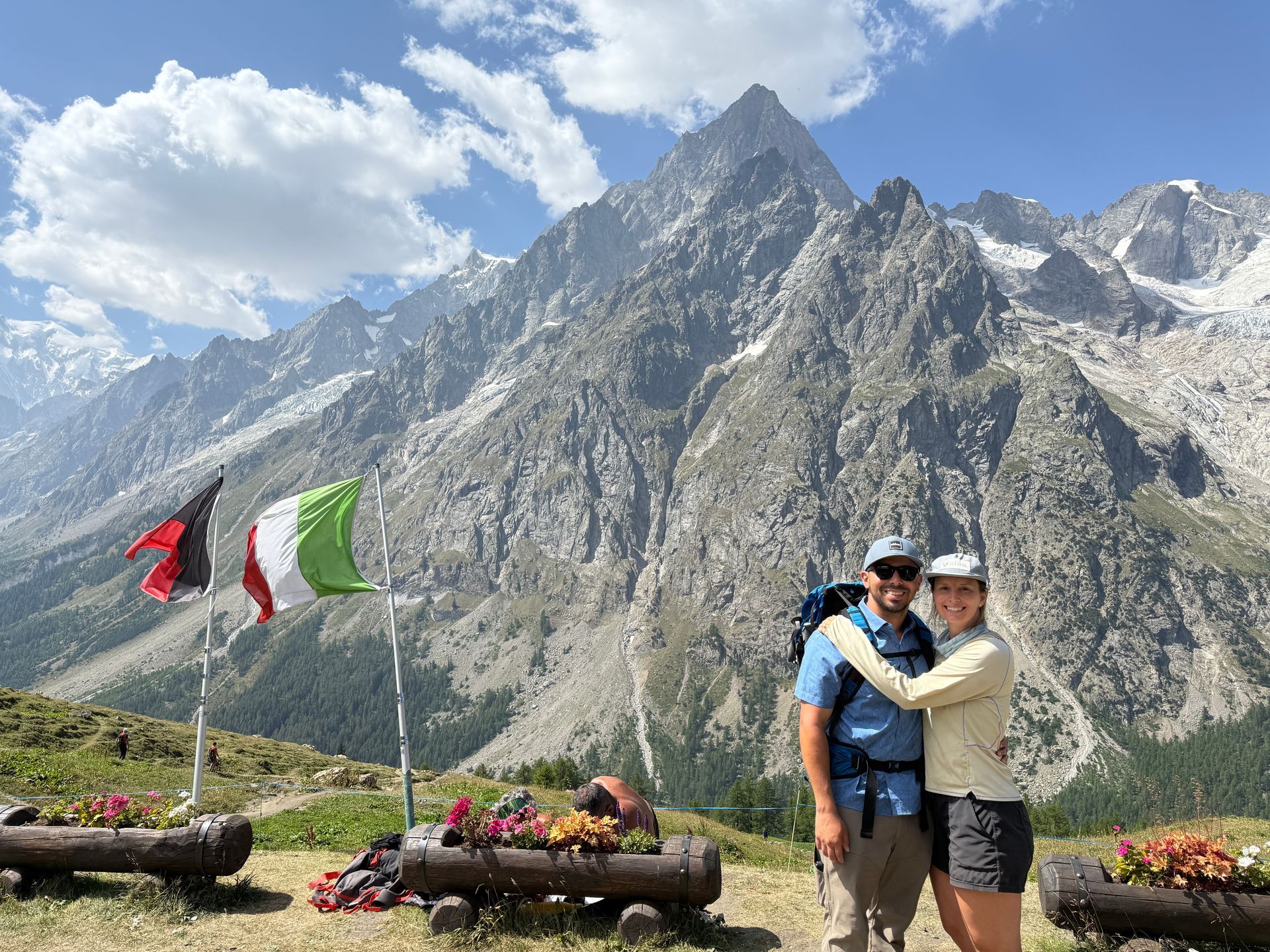
The Alta Via 1 is the ultimate Dolomites hiking adventure—a 9-day journey through Italy’s most stunning mountain landscapes. Here’s a day-by-day breakdown of the exact itinerary I followed, including distances, elevation changes, and key highlights to help you plan your trek with confidence.
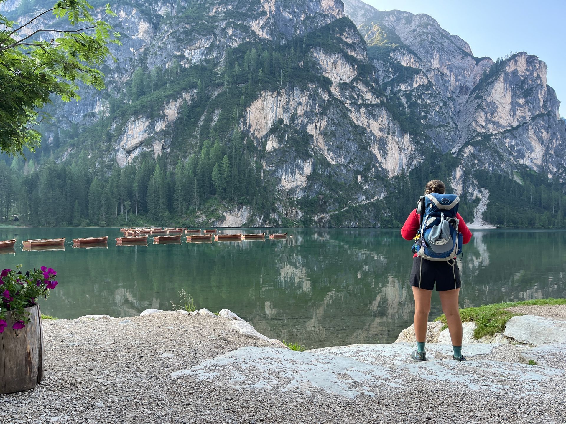
Day 1: Lago di Braies to Rifugio Fodara Vedla
Distance: 13 km / 8.1 miles
Elevation Gain: 880 m / 2,890 ft
Elevation Loss: 220 m / 720 ft
Your journey kicks off at the postcard-perfect Lago di Braies, one of the most photographed lakes in the Dolomites. After taking in the view, you’ll begin climbing into alpine pastures and forests. The day ends at Rifugio Fodara Vedla, a peaceful mountain hut with sweeping views and cozy alpine charm—a perfect start to your AV1 adventure.
Day 2: Rifugio Fodara Vedla to Rifugio Fanes
Distance: 12 km / 7.5 miles
Elevation Gain: 540 m / 1,770 ft
Elevation Loss: 590 m / 1,940 ft
Today you'll cross the Sennes Plateau, an open, wide expanse with panoramic views of the surrounding peaks. The trail undulates before descending into Val di Fanes, a quiet alpine valley that feels like a hidden world. Rifugio Fanes is one of the most beloved huts on the AV1, known for its atmosphere and hearty meals.
Day 3: Rifugio Fanes to Rifugio Lagazuoi
Distance: 14 km / 8.7 miles
Elevation Gain: 1,050 m / 3,445 ft
Elevation Loss: 390 m / 1,280 ft
A big day both in scenery and elevation gain. After a steady climb, you’ll reach the breathtaking Forcella del Lago, followed by a steep descent to the turquoise Lago di Lagazuoi. The final ascent to Rifugio Lagazuoi is tough but unforgettable. At 2,752 m, this hut offers some of the best sunset views in all of the Dolomites.
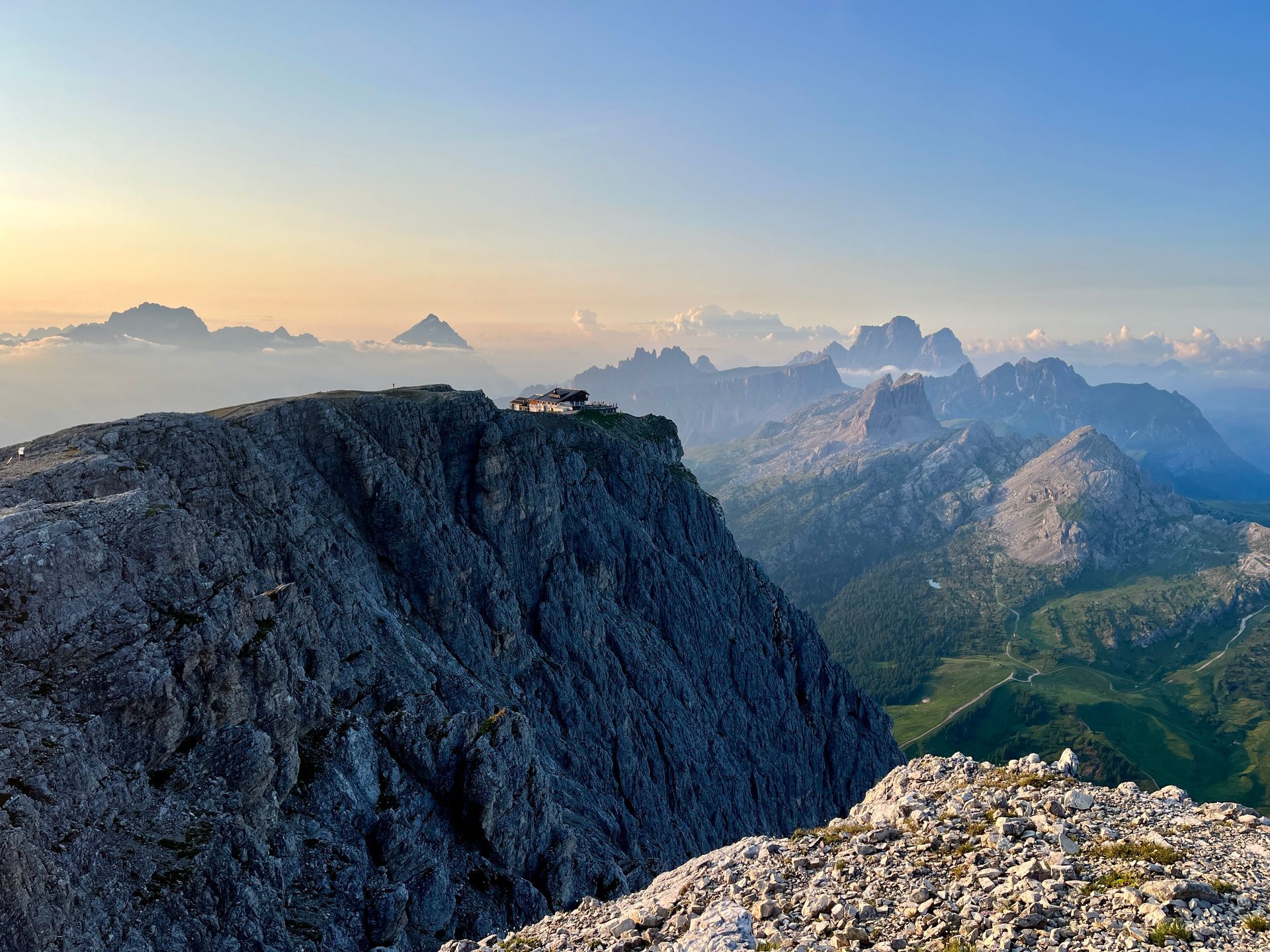
Day 4: Rifugio Lagazuoi to Rifugio Nuvolau
Distance: 10 km / 6.2 miles
Elevation Gain: 600 m / 1,970 ft
Elevation Loss: 750 m / 2,460 ft
Start your morning with a descent into Falzarego Pass, where you can explore the World War I tunnels carved into the rock—a humbling, historic detour. Then continue your climb up to Rifugio Nuvolau, one of the most dramatic and scenic huts on the trail, perched high on a rocky peak with unforgettable 360° views.
Day 5: Rifugio Nuvolau to Rifugio Staulanza
Distance: 14 km / 8.7 miles
Elevation Gain: 350 m / 1,150 ft
Elevation Loss: 900 m / 2,950 ft
Say goodbye to the high ridges as you descend past the Cinque Torri, iconic stone towers and popular climbing spots. The trail weaves through meadows and forests until you reach Rifugio Staulanza, nestled beneath Monte Pelmo. This is a great day to slow down and enjoy the changing terrain.
Day 6: Rifugio Staulanza to Rifugio Vazzoler
Distance: 15 km / 9.3 miles
Elevation Gain: 800 m / 2,625 ft
Elevation Loss: 950 m / 3,115 ft
Expect fewer crowds and more rugged terrain as you hike through the Dolomiti Bellunesi National Park. This lesser-traveled section of the AV1 offers raw beauty, dense forests, and commanding views of Monte Civetta. End the day at the peaceful Rifugio Vazzoler, tucked in among alpine trees.
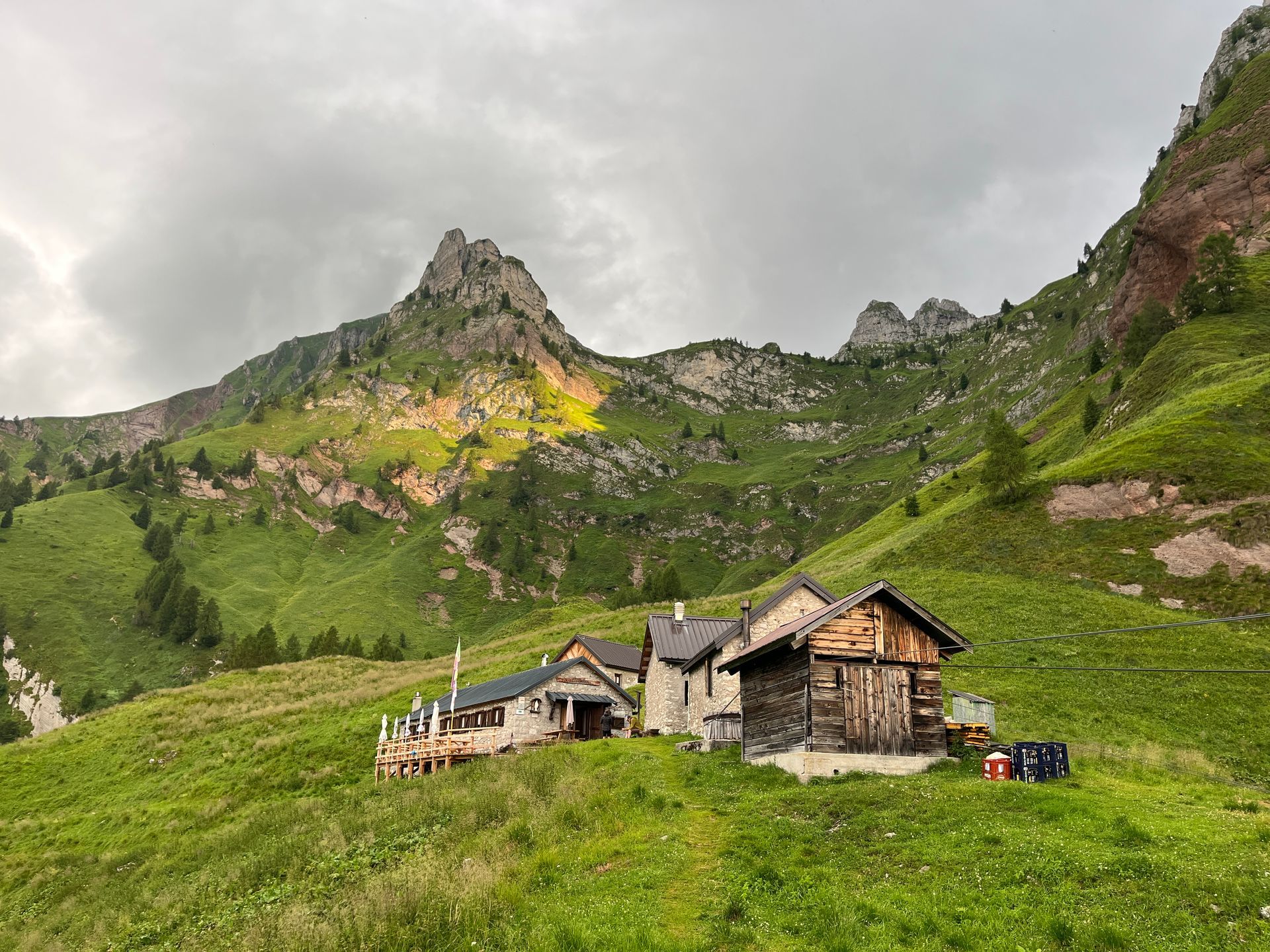
Day 7: Rifugio Vazzoler to Rifugio Passo Duran
Distance: 10 km / 6.2 miles
Elevation Gain: 550 m / 1,800 ft
Elevation Loss: 500 m / 1,640 ft
This shorter day gives your legs a bit of a break while still delivering big mountain energy. You’ll follow a mix of rocky ridges and forested paths to reach Passo Duran, where Rifugio San Sebastiano or Rifugio Passo Duran await with hearty meals and stunning sunset views.
Day 8: Rifugio Passo Duran to Rifugio Pian de Fontana
Distance: 17 km / 10.6 miles
Elevation Gain: 900 m / 2,950 ft
Elevation Loss: 950 m / 3,115 ft
One of the most rugged and remote sections of the Alta Via 1. You’ll hike through steep ascents, rocky scrambles, and isolated valleys where the wild beauty of the Dolomites is fully on display. Rifugio Pian de Fontana is rustic and remote—a fitting final stop before your descent into civilization.
Day 9: Rifugio Pian de Fontana to Belluno
Distance: 13 km / 8.1 miles
Elevation Gain: 150 m / 490 ft
Elevation Loss: 1,350 m / 4,430 ft
Finish your trek with a long descent through tranquil forests and mountain pastures. As you arrive in Belluno, you’ll feel both accomplished and completely changed. Celebrate with well-earned pizza and prosecco—because you just hiked one of the most iconic trails in Europe.
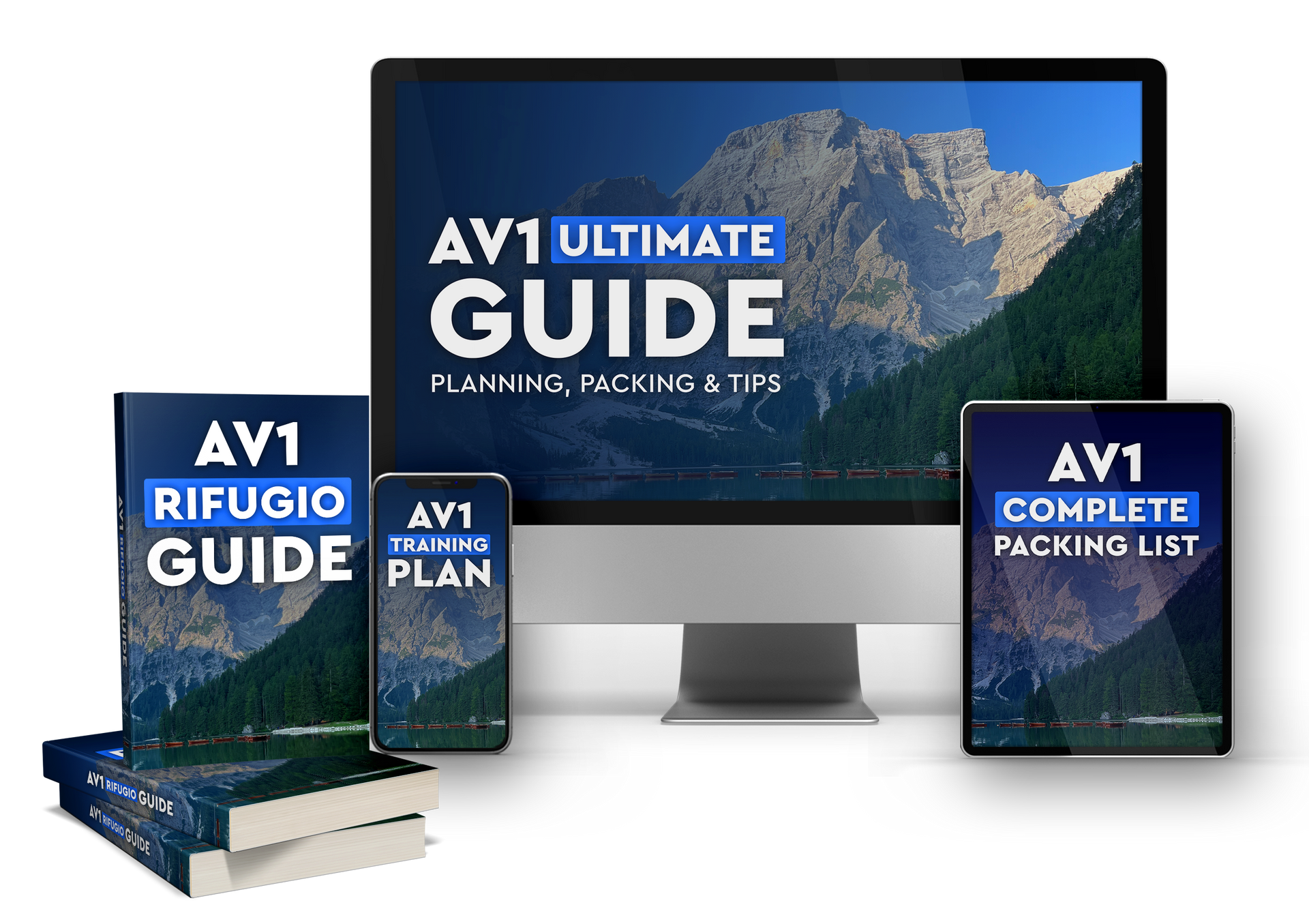
🧭 Want Help Planning Every Step?
This itinerary is just the beginning. Planning the Alta Via 1 can be time-consuming, overwhelming, and confusing—especially when it comes to booking rifugios and choosing the right gear.
That’s why I created the Ultimate Alta Via 1 Digital Guide — your all-in-one resource to confidently plan your trek from start to finish.
🧰 Inside the Guide:
- ✔️
Editable 9-Day Itinerary + Trail Distances & Elevation
- ✔️
Rifugio Booking Spreadsheet (w/ links, contact info & open dates)
- ✔️
Packing List for hut-to-hut hiking
- ✔️
Training Plan for elevation and endurance
- ✔️
Bonus Tips for navigation, budgeting, and gear
👉 Grab your digital guide now and save yourself 20+ hours of research.
🎒 Available now in our Shopify store –
click here to buy.